
 indexed
Çayeli (Rize) ve çevresinin istatistiksel yöntemlerle heyelan duyarlılık analizi / Landslide susceptibility analysis of Çayeli region (Rize) by statistical methods
2007
241 pages
3 views
1 downloads
Abstract (TR)
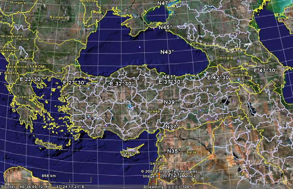
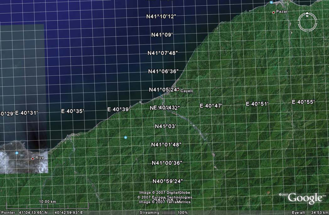
In this study, landslide susceptibility analysis of Çayeli Region (Rize) was performed by using statistical analysis methods. By preparing a 1/25000 scale geological map of Çayeli Region, lithostratigraphic units were seperated from oldest to youngest as follows; Hem^indere Formation (Santoniyen-Maastrihtiyen), Kaçkar Granitoid (Late Maastrihtiyen), Melyat Formation (Early-Middle Eosen), Pazar Formation (Sarmatian) and alluvium (Quaternary). Surficial weathering, on rocks of study area where climatic conditions presence to be on first place, has great importance. In the region, due to triggering of heavy rainfalls on 23rd of July 2002 and during the a couple of days, numerous landslides occured especially highly and completely weathered rocks. Inventory maps of these landslides were prepared by field works. In this study, data obtained from different sources were evaluated by Geographical Information Systems (GIS) and Remote Sensing (RS) techniques. Landslide susceptibility maps were produced using bivariate statistical analysis (BSA) and logistic regression analysis (LRA). On these susceptibility maps, five different susceptibility area were seperated. These are as follows; very low, low, medium, high and very high susceptible area. Performance analysis of these maps were carried out by comparing the actual landslides. On susceptibilty maps, produced with BSA 15 % of total area and 81 % of landslides, produced by LRA 19 % of total area and 92 % present landslides were determined as susceptible, high and very high susceptible areas. According to the results obtained from both analysis, performance analysis of susceptibility maps showed that these produced maps are suitable for use. LRA result where parameters evaluated all together and have higher performance might be preferred relatively. However, in future true performance of produced maps, will be evaluated when similar case of July 2002 meteorological event was happened. Key Words: Landslide susceptibility map, inventory map, Geograpgical Information Systems, Bivariate statistical analysis, Logistic regression analysis

Institution

How to Cite
Serhat Dağ (Doktora Tezi). Çayeli (Rize) ve çevresinin istatistiksel yöntemlerle heyelan duyarlılık analizi / Landslide susceptibility analysis of Çayeli region (Rize) by statistical methods, 2007, pp. 1-241, Karadeniz Technical University, DOI: https://doi.org/10.71008/ktu.thesis.2007.102.
Figures & Images (93)


Keywords
DOI Status
Requested
Under Review
Approved
DOI Assigned
DOI & Cite
License
Tüm Hakları Saklıdır
This work is shared under the specified license terms.
More theses from Karadeniz Technical University
- Trabzon ilinde yaşayan 20 yaş ve üzeri bireylerde tütün ürünleri kullanımı, alkol kullanımı, alkol kullanım bozukluğu prevalansı ve etkileyen faktörler(2025)
- Halk bilimi açısından Trabzon ili geleneksel tarım kültürü(2023)
- Yaşlandırma Süresinin Zn-27Al-1Cu Alaşımının Yapı ve Mekanik Özelliklerine Etkisi(2016)
- Harşit çayından (Tirebolu-Giresun) elde edilen kırılmış dere malzemesinin beton agregası olarak kullanılabilirliğinin incelenmesi(2005)
- Karabağ köyü (Kağızman–Kars) çevresinin hidrojeolojisi ve yeraltısularının kalitesinin değerlendirilmesi(2023)
- Millî Kütüphane 06 Hk 2725/2 numarada kayıtlı Risâletü'r-Reml (Çeviri yazı-inceleme-dil içi çeviri-tıpkıbasım)(2024)