
Kemaliye (Eğin) a research study of settlement patterns and dwellings
1990
0 views
0 downloads
Advisor: Prof. Dr. Metin Sözen
Abstract (EN)
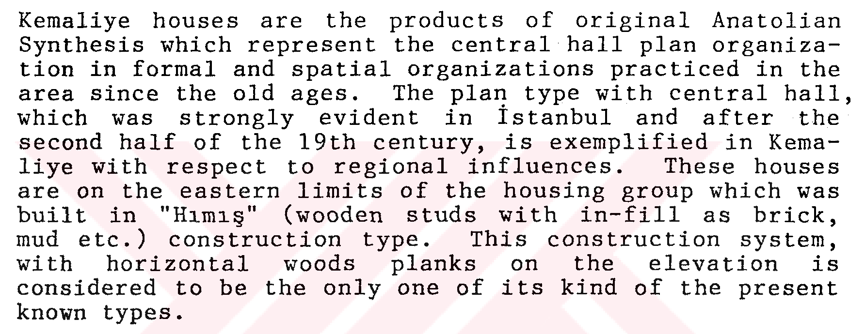
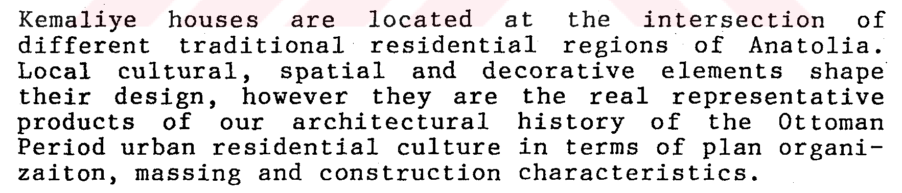
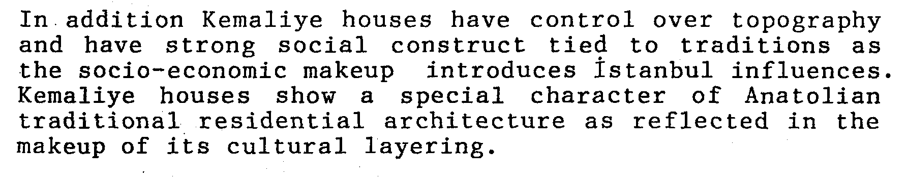
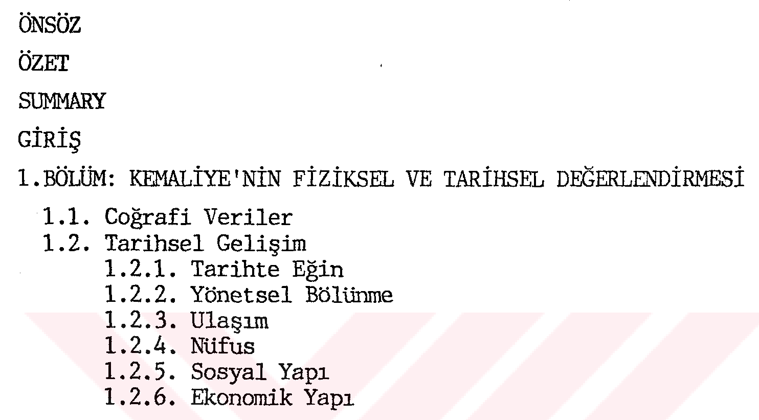
The industrial revolution which started a new societal and economic formation process during the 19th century in western societies, also brought with it a distinctive change in the physical development of urban areas. In Turkey, especially during the early period of the Republic, the increasing impact of industrial revolution initially affected coastal towns. Traditional settlement patterns began to disappear due to rapid urbanization. Only small towns which were not directly affected by the industrial revolution or which were not on major trans portation routes or which did not have special economic potential were able to retain the settlement patterns, developed during earlier historical periods. However, even those towns which have been losing population and their urban identities, are losing their urban patterns aver time, patterns which are the only living proof of the role of these towns in history. One of the reasons for the selection of Kemaliye as the topic of research is that Kemaliye is representative of the original formation of Anatolian - Turkish town organization and traditional residential architecture. In spite of the district of Kemaliye begin at the intersection of varied geographical and cultural influences and the importance of its special characteristics due to locality, it has not been studied sufficiently. Thus is the purpose and subject matter of this research defined. The approach of this study, is to discuss the settlement pattern of Kemaliye from its emergence to present day, in order to establish the relationships between the political, socio-economic, local setting and the reasons for the development of the physical pattern. The thesis is composed of an introduction, four chapters and appendices. Chapter 1 - The Physical and Historical Evaluation of Kemaliye Kemaliye is located in the state of Erzincan at the north west border of eastern Anatolia at the western edge of the upper Euphrates (Karasu) valley. This administrative district capital, consisting of 10 neighborhoods and 29 villages, encompasses 1,168 square kilometers of area at 850-1000 meters above sea level. The district is vicomposed of a deep and narrow valley running northwest - southwest along the upper Euphrates and the steep and rocky mountains which surround this valley. The topog raphic formations of the land in the settlement area indicate interval of vertical erosion. Of the step contains the vineyards and gardens of the district and the second is the built up area. After the third interval, which contains the limits of the settlement area, the Hotar Mountain rises like a fortress wall. The slope of the settlement land is 30- 45 %. Rivers have played a very important role in quality and quantity in the physical development of Kemaliye. "Kadıgölü Spring" and the Kadıgölü Stream that connects the spring to the Euphrates is the most important of the rivers and indeed, itself symbolizes Kemaliye. Kemaliye, named Eğin prior to 1926, is located in the area of Armenia Minor. This zone, because of its location has shared a border between rival countries for many centuries; super-powers such as the Romans, Byzantines, Persians and Arabs sent their respective governors to Kemaliye and it has been able to keep its semi-indepen dence through each period. Most sources trace the origins of Kemaliye back only to the 11th century, with only regional information available for periods before that. It is strongly believed that Eğin was established by Armenian families who were under the rule of King Senekerim of Vaspurakan who turned over his lands near lake Van to the Byzantine Emperor Basileios II during the 11th century. Evliya Çelebi however, in his memoirs makes references to Eğin in the 7th and 9th centuries. Eğin under Sultan Alaeddin Key- kubat joined the Anatolian Seljuks and under Çelebi Sultan Mehmet, joined the Ottomans. Physical/environmental conditions have become the main elements which have shaped the social, economic and cultural development of Kemaliye. With limited land area and poor conditions for agriculture its people have tended toward livestock breeding, fruit orchards, hand crafts and trade. Periodically migrations to governmental centers, for the purpose of work and business have occurred. Especially during the 19th century there was a very close link between the district and Istanbul due to trade and business. This relationship is reflected in the societal development and has been a strong influence on residential architecture. Chapter 2 - The Physical Make Up of Kemaliye In this section the physical development of the settlement pattern and the architectural and functional elements are discussed. vixThe boundaries of the settlement area were determined by the topography. Tha rational of development and land use divisions of the physical pattering (layouts) were influenced by natural characteristics such as topography, streams and vegetation. The physical layout in the areas where physical limits were evident first occured in the 16th century and contiuned with the growth of population to the 19th century. The settlement pattern that has developed parallel to the river continues upwards above the green line of vineyards and gardens. After a certain height, the density increases and settlement continues towards the top. At the boundary where the hillside suddenly gets steeper, the developed green areas and buildings end. The transportation system of the district is composed of roads paralleling the contours, and stepped connections perpendicular to the valley. The functional groupings of the physical pattern are: "Commercial and Administrative Center", "Religious and Social Center" and "Residential Areas". Due to the topographic make-up of the land three out of ten neighbor hoods of the district are scattered away from the center. In Kemaliye the neighborhoods were grouped together whether or not there was ethnic polarisation. In the 19th century the distinctive characteristic of the settlement pattern was its division into two parts of the social layering. This condition created variations in residential patterns. Today's existing pattern is comprised of neighborhoods that are heavily middle and higher income groups. Five mosques, two Armenian churches, one medrese-religious school and two baths are the district's monumental structures. These structures are not distributed homogeneously through the settlement but rather grouped in the "Centrum". Chapter 3 - Houses of Kemaliye In this section, the residential patterns (settlements) and houses which have preserved their densities and boundaries but with identifiable changes are investigated in terms of settlement principles, functional, formal and constructional details. Because of the specific natural environmental conditions of the settlement area, different typologies showing the relationships of the spatial elements between each other and with the natural environmental conditions are compared with the purpose of proving that topography, views and construction conditions have influenced the design of dwellings. These typologies, supported by accompanying analysis, demonstrate the original dwelling types of the district. vmThe most obvious characteristic of the residential pattern is dwellings which are parallel to the topography and which line the two sides of the steep perpendicular roads and the stepped gardens which connect the dwelling rows. Since arrangement of all the dwellings had a view of the Euphrates as the goal, the relation of the street to the dwelling is of importance only at the entrance level. In this way the houses form the streetscape with front elevation on one side and with rear elevations facing other roads parallel to the topography. In the dwellings of Kemaliye the number of floors is dictated by the location of the building on the topography and the direct relation of the building to the road. Buildings with three or four floors have a direct relation to outdoor space at every level. Because of the relation to the street, the "Main Floor" can be the "Ground Floor". Therefore, the terms "Main Floor" and "Upper Floor" are not used. Instead, the terms "Lower Floor", "Main Floor", "Basement Floor" and "Illegal Floor (Attic)" are used. The functional ordering of levels in the traditional Turkish house is changed in the Kemaliye houses to organization of similar spaces at each level. In this organization, the living aeras are located in the front of the house towards the view, and direct connection to outside is possible at every level. Kemaliye houses are formed with the space organizing principles of the traditional Turkish house plan with central hall. The elements which compose this plan are: a) In the center, the "Hall" named "Aralık" (in between and open on one side); b) On the two sides (in the front) general or special use rooms (Selamlık (for men only) rooms, Direküstü rooms (room with a pole in the center); and c) service areas (in the back). Where the hall reaches the exterior wall the living area "Divanhane" occurs. In the formal organization of the design elements, a modular system with a unit module called "mag" was discovered. The study tries to explain specifically the relation of this system to the enclosed balcony bays and window orders of the front/view elevation where the living areas are located. Chapter 4 - Evaluation and Conclusion In this section the relationship of the spatial elements, design of the plan and characteristics of construction of Kemaliye houses were chosen for the study because Eastern Anatolia shows different geographical and cultural influences and the district has a strategic position in the area. The rectangular and Direküstü rooms that are formed by the principles of the construction system show similarity to the room shapes which have been in existance since the early ages in the area. This room shape which is ixconsidered common in the rural areas with limited construction alternatives is explained as the reflection of the regional traditions in the urban Kemaliye houses. The rooms with mobile elements and with spatial organiza tion related to the heating system take precedents from the various layers of cultures, tents of nomads and contemporary houses of the region. The function and organization of the "Divanhane" is similar to the organization of the "Köşk" and the design principles of the "Divanhane" are similar to the design principles of the Turkish house with its interior and central hall plan and its "Sofa Şahniş" (bay-window on an enclosed balcony at on end of the hall). Kemaliye houses are the products of original Anatolian Synthesis which represent the central hall plan organiza tion in formal and spatial organizations practiced in the area since the old ages. The plan type with central hall, which was strongly evident in Istanbul and after the second half of the 19th century, is exemplified in Kema liye with respect to regional influences. These houses are on the eastern limits of the housing group which was built in "Himxs" (wooden studs with in-fill as brick, mud etc.) construction type. This construction system, with horizontal woods planks on the elevation is considered to be the only one of its kind of the present known types. In conclusion Kemaliye houses are located at the intersection of different traditional residential regions of Anatolia. Local cultural, spatial and decorative elements shape their design, however they are the real representative products of our architectural history of the Ottoman Period urban residential culture in terms of plan organi- zaiton, massing and construction characteristics. In addition Kemaliye houses have control over topography and have strong social construct tied to traditions as the socio-economic makeup introduces Istanbul influences. Kemaliye houses show a special character of Anatolian traditional residential architecture as reflected in the makeup of its cultural layering.
Author
Dr. Berrin Alper
Institution

How to Cite
Berrin Alper (Doctorate thesis). Kemaliye (Eğin) a research study of settlement patterns and dwellings, 1990, Istanbul Technical University.
Figures & Images (294)


License
Tüm Hakları Saklıdır
This work is shared under the specified license terms.
More theses from Istanbul Technical University
- Investigation Of Stretching Effect With Mixed Finite Element Formulations For Laminated Beams And Plates(2023)
- Classification of anemia using data mining methods: An application(2015)
- Removal and recovery of platinum group metals through anode slimes of moebius electrolysis(2015)
- A study of design approaches to Istanbul's city halls based on space syntax theory(2015)
- A II. German Empire project: From Kaiser Wilhelm Monument to German fountain(2015)
- Uzaktan algılama verilerinin yersel ölçümlerle entegrasyonu ile toprak tuzluluk haritalaması; Aşağı Seyhan Ovası, Adana, Türkiye(2015)